About this property
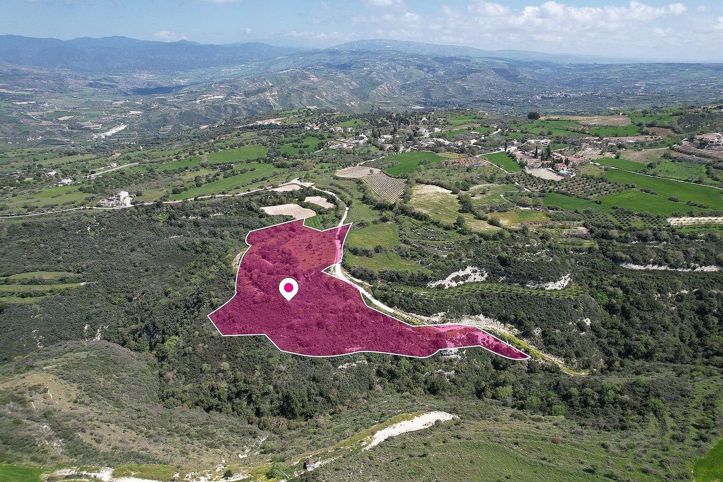
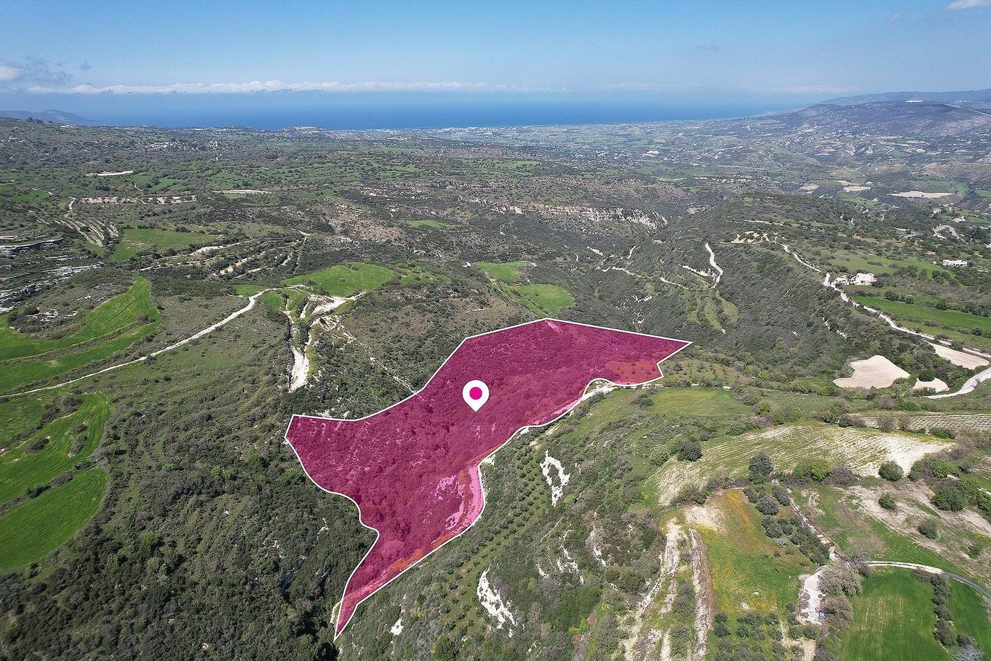
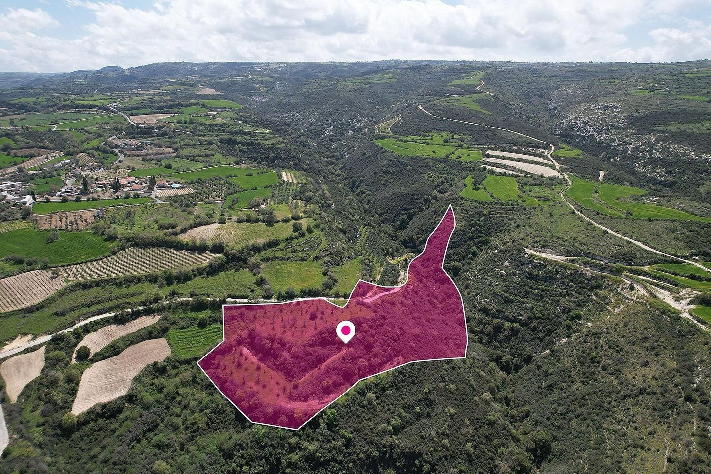
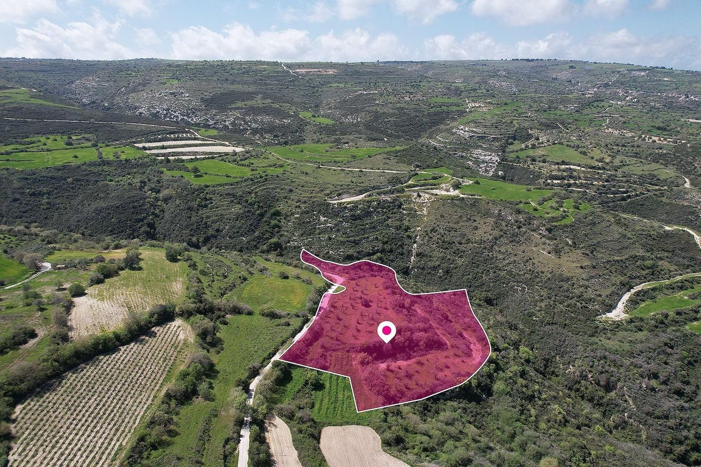
This agricultural field covers a total land area of 22.743 sq.m.
Access to the property is provided via a registered dirt road located on the southern side of the property with a road frontage of approximately 300m.
The surface of the field is even with irregular shape.
The property is located 400 m from the center of the village.
The property falls within Zone Γ3, with a building coefficient of 10%, coverage of 10%, and permission for 2 floors (8,3m) of construction.
The property is surrounded by residential developments.
Location Coordinates: 34.94478278 32.44141294
General Information
Property Type
Land
Property Subtype
Field
Furnishing
Unfurnished
Areas
Total Area
22743 m²
Plot Area
22743 m²